Subscribe
Today's topic is the Geograph Project, a crowd-sourced project that combines photography and maps via a simple idea: volunteers take photographs at each Ordnance Survey grid square. Started in 2005, the project recently celebrated the uploading of its 7 millionth photo upload, and has a thriving community with over 13,000 contributors across the British Isles. All images are freely available for use under a Creative Commons licence subject to attribution of copyright.
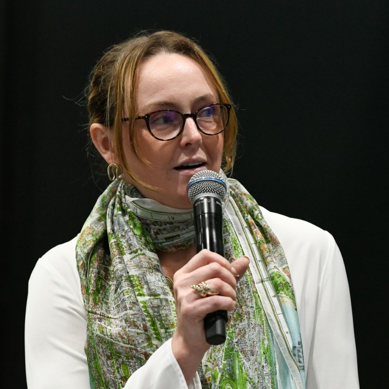
Steven speaks with long-time community members and organizers Ruth Sharville, Philip Halling,
and David Howard about what makes Geograph so special.
Relevant links:
- geograph.org.uk, the project website
- Follow @geograph_bi on twitter
- Ruth's profile on Geograph
- Philip's profile on Geograph
- David's profile on Geograph
About the podcast
On the Geomob podcast every week we discuss themes from the geo industry, interview Geomob speakers, and provide regular updates about our own projects.
Popular podcast topics:
The Geomob podcast is hosted by:
