Subscribe
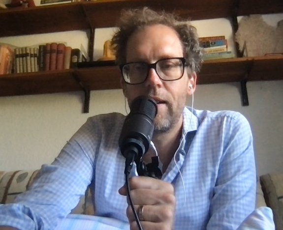
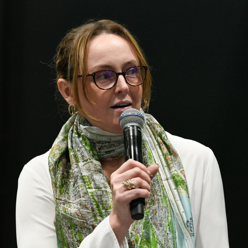
Ed interviews Olivia Ragone, a GIS data officer at the National Trust, discussing the integration of OpenStreetMap in the mapping the UK's historic sites and trails. Olivia shares insights into the challenges faced in mapping, the importance of community engagement, and the future of interactive mapping for visitors. The conversation highlights the significance of open data in conservation efforts and the collaborative approach needed to maintain accurate geographic information.
The NT Paths & Trails program has been funded through partnership with Cotswold Outdoors and included within on-going joint work with Sport England.
Relevant links:
About the podcast
On the Geomob podcast every week we discuss themes from the geo industry, interview Geomob speakers, and provide regular updates about our own projects.
Popular podcast topics:
The Geomob podcast is hosted by:

