Subscribe
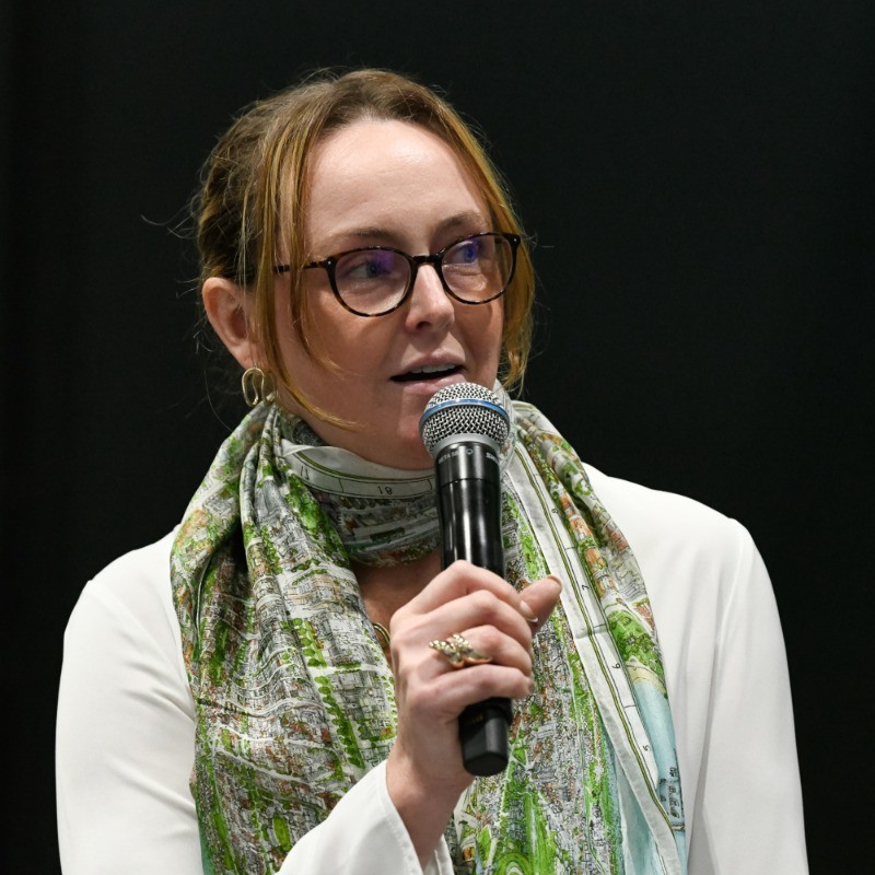
Ed speaks with Nadine Alameh, CEO of the Open Geospatial Consortium (OGC), and speaker at our February Geomob event. Nadine gives us the overview of what the OGC is, who the members are, and what exactly the organization does. She shares how geospatial standards are crafted, and some of the new technologies and areas where work is currently being done. While we were unable to definitively resolve the lat/lon vs lon/lat debate, we do discuss the case of OpenStreetMap, the balance between standards AND innovation, and new geospatial challenges around technologies like IoT, drones, etc. Nadine reflects on finding consensus between some of the largest geospatial organizations of the world. We get into the detail of collaborating to address the world's geospatial dilemmas. Ultimately, the OGC is doing the hard work of engaging with the global geocommunity to work together tomake complexity simple.
Relevant links:
- OGC Website
- Nadine is on twitter as @nadinesa
- Nadine on LinkedIn
- OGC Wikipedia page
- Video of Nadine's talk at the Feb 2021 Geomob online event
About the podcast
On the Geomob podcast every week we discuss themes from the geo industry, interview Geomob speakers, and provide regular updates about our own projects.
Popular podcast topics:
The Geomob podcast is hosted by:
